mapping

Top Tweets
Solar panels installed on a rolling hill.
a cruise ship with an iceberg in the background.
Food waste & agricultural inefficiencies.
Farmworkers in a field on a hot day.
Newsletter
flood fema map climate
Image by WikiImages from Pixabay

FEMA maps said they weren't in a flood zone. Then came the rain

Flaws in federal flood maps leave millions unprepared. Some are trying to fix that.

connecticut mapping tool justice
Big Stock Photo

Connecticut mapping tool aims to bring visibility to EJ communities

The University of Connecticut and the state Department of Energy and Environmental Protection unveiled a tool to visualize pollution exposure, health disparities, and other socioeconomic factors.

rwanda trees mapping climate carbon

Mapping Rwanda’s trees from above

Researchers used both aerial and satellite imagery, as well as machine learning, to map the carbon stock of every overstory tree in Rwanda—the first such inventory in the world.
Mapping cooling climate solutions in cities facing brutal heat records

Mapping cooling climate solutions in cities facing brutal heat records

Images and data taken by satellites from space show what works—and what doesn’t—in the fight against deadly heat waves.
climate water biodiversity

Scientists map Caribbean coral reefs to tackle climate change

Scientists have mapped coral reefs in the Caribbean to identify those most likely to survive climate change. Corals with the highest potential to escape destruction from marine heat waves are predominantly located along the northern shoreline of Cuba.

ejscreen epa climate energy politics
www.eenews.net

This EPA mapping tool could reshape environmental justice

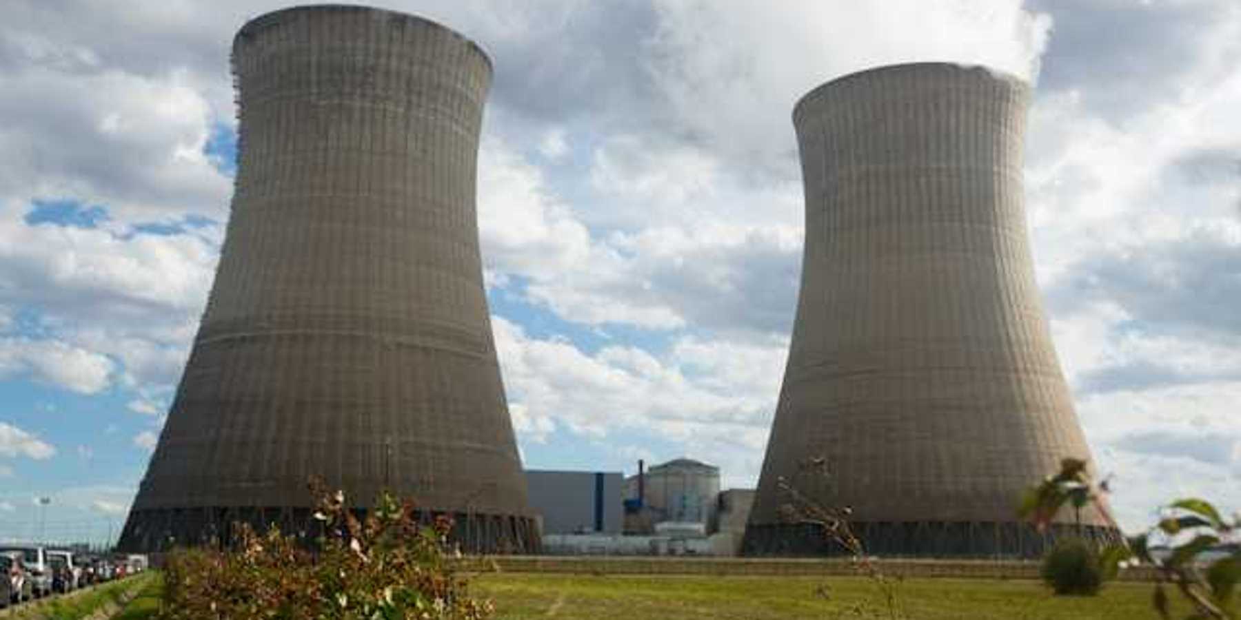
EJSCREEN, a wonky, mostly unknown EPA mapping tool, has drawn the attention of the Biden administration, which has promised to bolster its data in a way that could help environmental lawyers and community activists build stronger cases against oil and gas infrastructure, power plants, and other industrial facilities in minority and low-income neighborhoods.
Canadian science mapping informs protections
thenarwhal.ca

Scientists flag Rocky Mountains, Hudson Bay as hotspots for protection

Ottawa has big ambitions but little research when it comes to setting aside the most valuable areas for conservation. Never fear, the mapping scientists are here.

ORIGINAL REPORTING
MOST POPULAR
CLIMATE