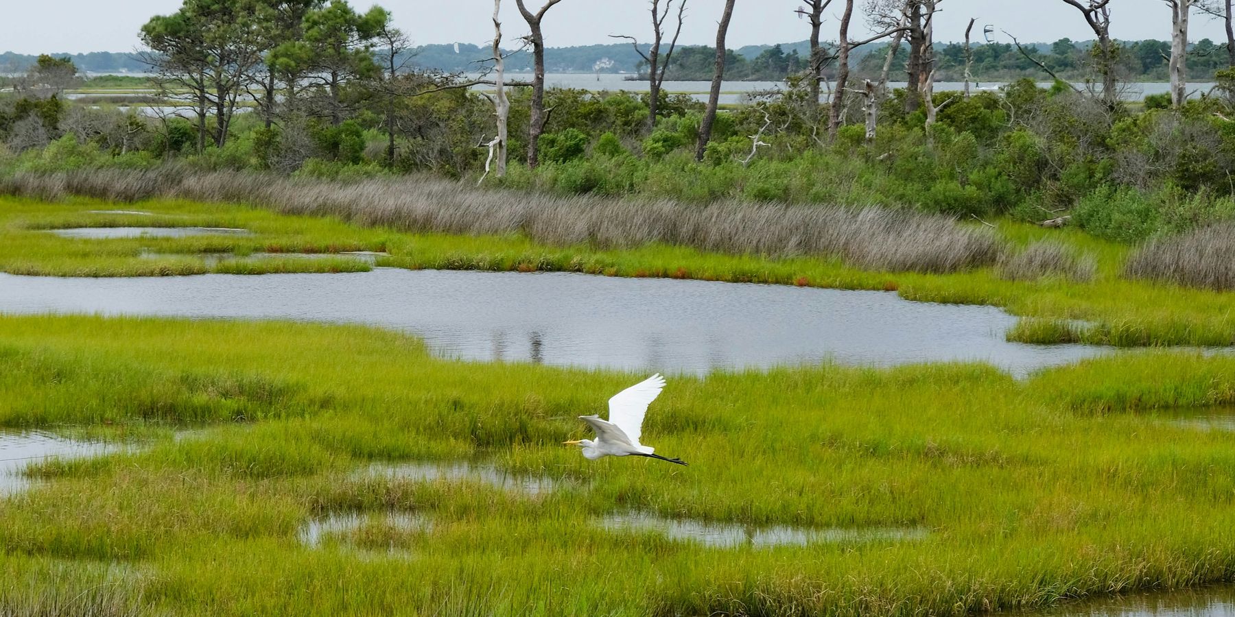
Belgium turns to wetlands to manage flooding and drought risks
Wetlands in Belgium are being restored to absorb floods and ease drought, but residents remain divided over whether the projects go far enough to protect their homes and cities.
Martina Domladovac reports for Deutsche Welle.
In short:
- The Sigma Plan, launched after devastating floods in the 1970s, combines dikes, quays, and depoldered flood zones to reduce flood risks while restoring natural river habitats.
- Farmers and residents initially resisted land expropriation but grew more supportive after compensation, public outreach, and new recreational access to wetlands.
- Critics warn that green infrastructure projects in cities like Mechelen may fall short, as new construction and tree loss worsen flooding, drought, and heat.
Key quote:
"Even farmers accepted it over time — mostly because the compensation they received was reasonable, and especially because it was for the greater good."
— Dirk Gorrebeeck, resident of Kruibeke
Why this matters:
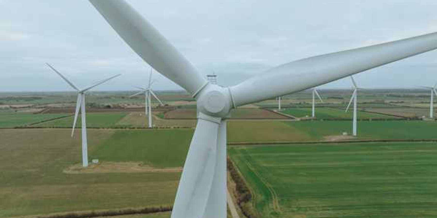
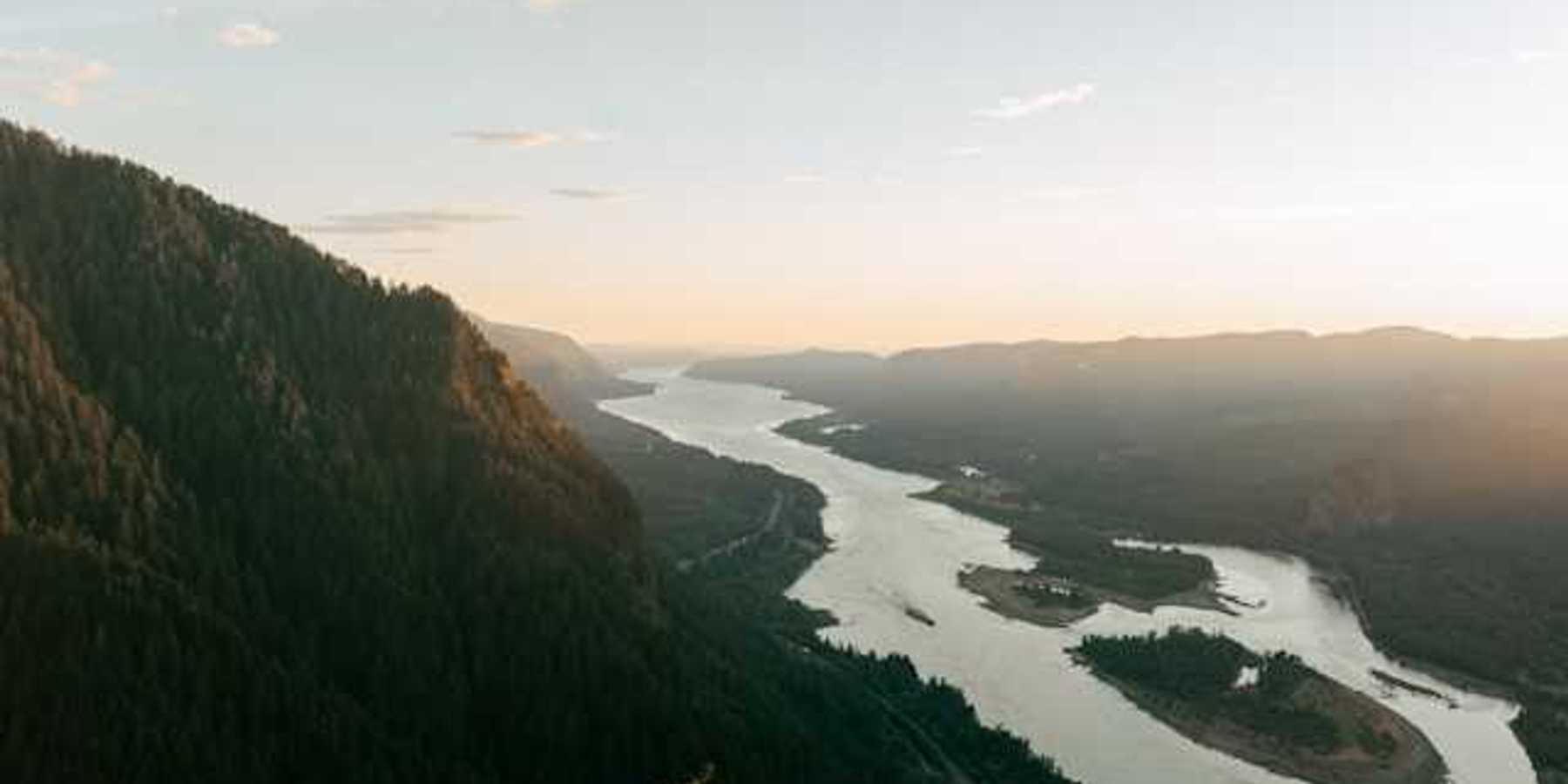
As climate change drives heavier rains and longer droughts, flood-prone regions worldwide face a double crisis of too much water and not enough. Wetlands offer a natural buffer, slowing floods like a sponge while replenishing groundwater in dry spells. But urban growth and land-hungry infrastructure projects continue to erase them, replacing absorptive soil with concrete and asphalt that trap heat and funnel water into overwhelmed sewers. The tension between building resilience and fueling urban expansion is not unique to Belgium — it is a global challenge for communities deciding how to live with rivers, rain, and rising seas.
Related: Rebuilding coastlines with nature to hold back the rising seas