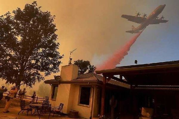
Old satellites vital to hurricane tracking will soon stop transmitting data
The National Oceanic and Atmospheric Administration (NOAA) stopped receiving data from key weather satellites on June 30, limiting forecasters’ ability to detect dangerous hurricane intensification in real time.
Rebecca Dzombak reports for The New York Times.
In short:
- NOAA and the Department of Defense will cease collecting data from aging polar-orbiting satellites that have helped track hurricanes since the early 2000s, citing unspecified service changes.
- These satellites use microwave instruments to detect storm structure changes at night, a key time when hurricanes often intensify due to warm ocean waters.
- While some microwave data will still be available from other satellites, experts say coverage gaps and delays will hamper forecasting accuracy and readiness.
Key quote:
With fewer satellite passes over a given part of the ocean, “forecasters will see hourslong delays in the National Hurricane Center recognizing that a storm has begun to strengthen abruptly.”
— James Franklin, former head of the hurricane team at the National Hurricane Center
Why this matters:
Timely hurricane forecasts depend on real-time data from multiple satellites, especially those that can "see" storm structure through clouds at night. Without that data, meteorologists may miss signs that a storm is quickly strengthening — a trend that has become more common as climate change fuels warmer ocean temperatures. Rapid intensification, particularly overnight, can leave communities with little time to prepare or evacuate. Gaps in data coverage also threaten maritime safety and disrupt decades of storm behavior research, which helps improve future forecasts. As the hurricane season intensifies, losing these tools could reduce warning times, affecting millions in vulnerable coastal areas across the U.S., Mexico, and the Caribbean.
Read more: NOAA facility closures could threaten weather forecasts and public safety