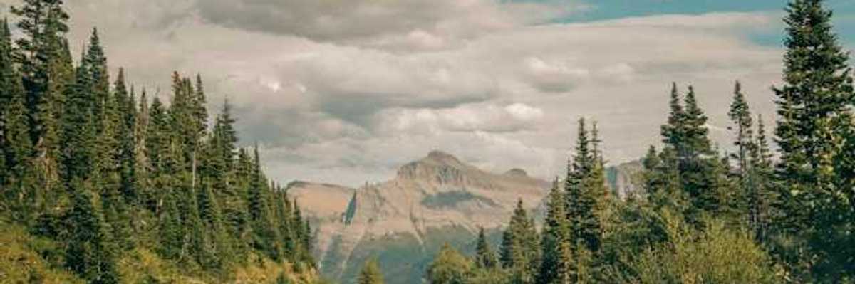
Eastern Australia looks set for a drier winter and spring as a US federal agency predicts an “extremely high likelihood” of an El Niño developing later in the year.
Temperatures in the world’s oceans have broken fresh records, testing new highs for more than a month in an “unprecedented” run that has led to scientists stating the Earth has reached “uncharted territory” in the climate crisis.
The El Niño-Southern Oscillation, which has a huge influence on global weather patterns, isn't behaving as computer models predicted. That's puzzling scientists.
Climate models continue to warn of a potential El Niño developing later this year – a pattern of ocean warming in the Pacific that can increase the risk of catastrophic weather events around the globe.
The climate pattern that tends to bring drier, warmer conditions to the southern half of the United States and wetter weather to the northern half has ended, NOAA said Thursday.
Stronger El Niño events due to global heating may accelerate irreversible melting of the Antarctic ice sheet and ice shelves and the rise in sea levels, according to research from Australia’s premier government science agency.
Australia could swing from three years of above average rainfall to one of the hottest, driest El Niño periods on record, as models show an increasing likelihood the climate driver may form in the Pacific in 2023.