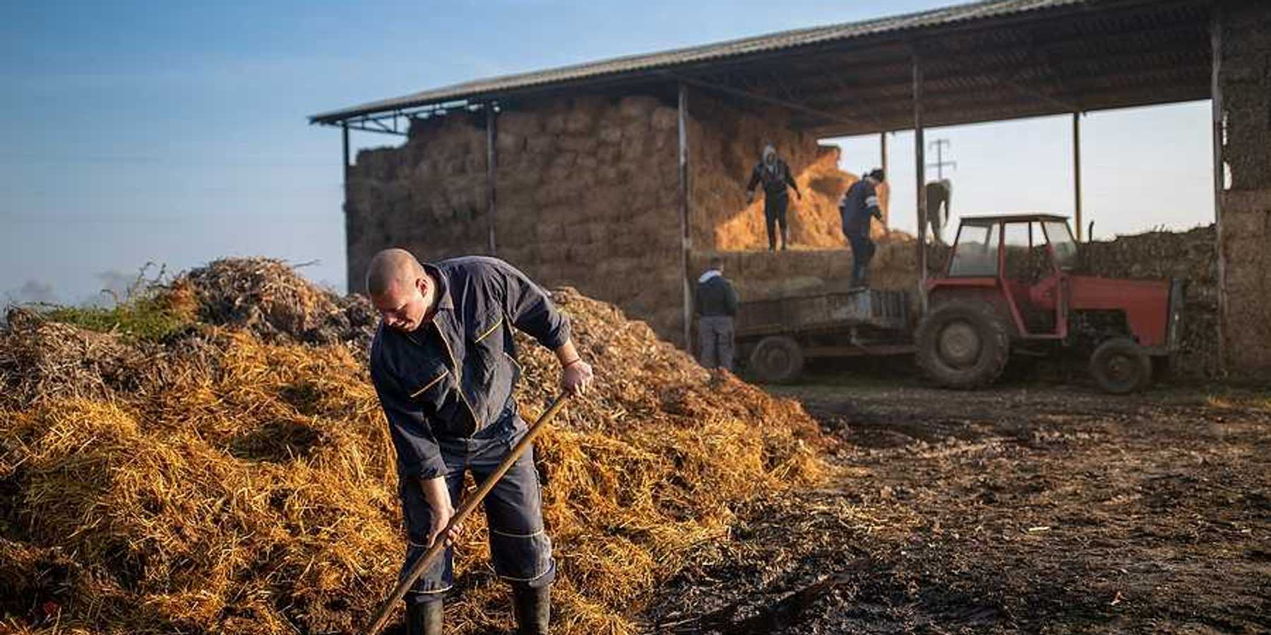
West Virginia launches long-delayed flood risk studies after years of stalled funding
West Virginia will partner with the U.S. Army Corps of Engineers on long-awaited studies to assess flood risks in two river basins, nearly a decade after devastating floods killed 23 people in 2016.
Sarah Elbeshbishi reports for Mountain State Spotlight.
In short:
- The Kanawha River Basin study will cover 20 counties, and the Upper Guyandotte study will assess risks in Wyoming and Raleigh counties, both funded with $1.5 million in state contributions.
- The state has yet to fund its 2023 flood resiliency trust, despite decades of unimplemented flood protection plans and mounting damage from frequent floods.
- Researchers say federal flood maps underestimate the state’s risks, with one-third of properties potentially vulnerable compared to the Federal Emergency Management Agency estimate of 9%.
Key quote:
“Governor Morrisey is committed to protecting West Virginians from floods and all options are on the table to best prevent and mitigate these disasters.”
— Drew Galang, spokesperson for Gov. Patrick Morrisey
Why this matters:
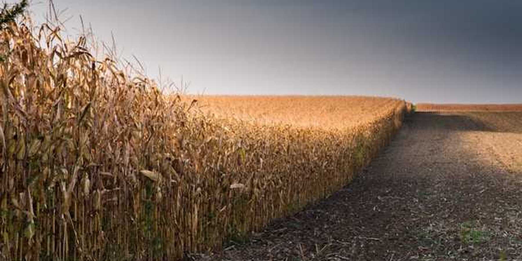
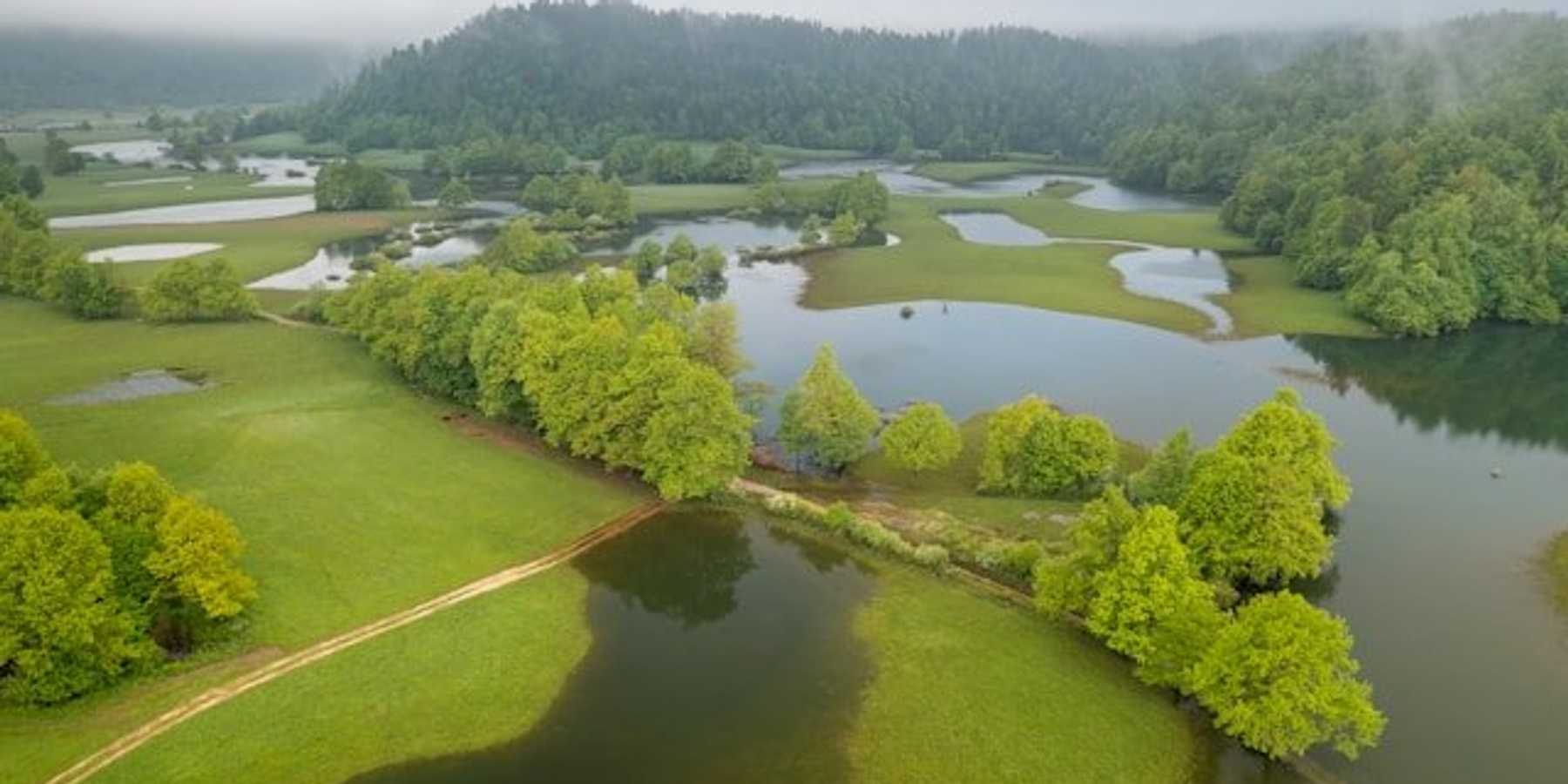
Flooding is West Virginia’s most persistent natural disaster, fueled by steep terrain, deforestation, and intense rainfall. The state’s network of rivers and creeks, combined with legacy damage from mining and logging, leaves communities especially exposed. Climate change is amplifying these threats, driving heavier storms that overwhelm drainage systems and inundate towns. Many vulnerable areas, including critical facilities like hospitals and schools, sit in high-risk zones, yet mitigation plans often stall for lack of funding. Outdated federal maps can further obscure danger, leaving residents unprepared.
Related: East Coast seeing more intense winter storms as West Coast dries, study shows